|
March 29, 2010
I've just found time to look at the catalog of photographs taken by the High Resolution Imaging Science Experiment (HiRISE) camera on the Mars Reconnaissance Orbiter satellite. They are pretty impressive:
 NASA, Sand Dunes and Ripples in Proctor Crater, Mars
NASA's Mars Reconnaissance Orbiter left Cape Canaveral in 2005, on a search for evidence that water persisted on the surface of Mars for a long period of time. While other Mars missions have shown that water flowed across the surface in Mars' history, it remains a mystery whether water was ever around long enough to provide a habitat for life.
This false-color image of the north polar layered deposits has been processed to emphasize color variations.
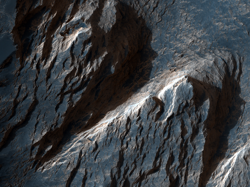
 NASA, Lava-Draped Channel System on Mars
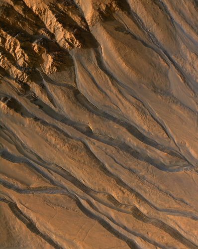
Mars is fundamentally a volcanic planet. Geologic mapping of Mars shows that about half the surface seems to be covered with volcanic materials that have been modified to some extent by other processes (such as meteorite impacts, blowing wind, and floods of water).
 NASA, Layers and Dark Debris in Melas Chasma
The images collected under themes are even more graphic. Water on Mars has been confirmed.
Finding scientifically interesting spots that are safe to land future rovers is one of the primary goals for the MRO mission.The orbiter's primary mission ends about five-and-a-half years after launch, on Dec. 31, 2010.
|


